- Pull back on the transparency button(s). This works for your management zones or reference layers either at the field or individual attribute level!
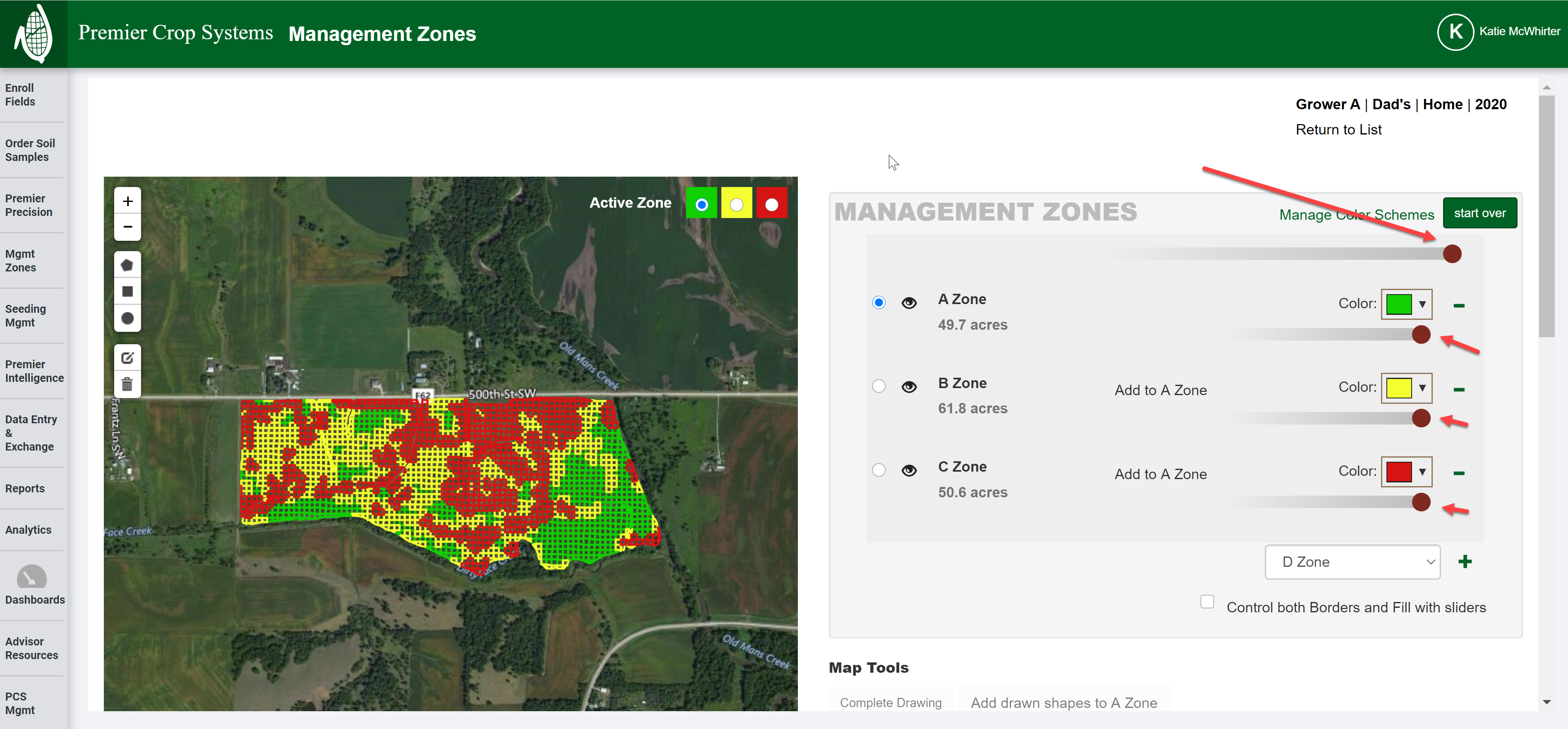
- You can turn the "eyeballs' on or off either at the field or the individual attribute level for any management zone(s) or reference layer(s)!

- If you need any assistance, contact your advisor support representative.