- Select the boundary in your tree in SMS and click the “Create New Map” button. Then select the “Edit Layer” button.

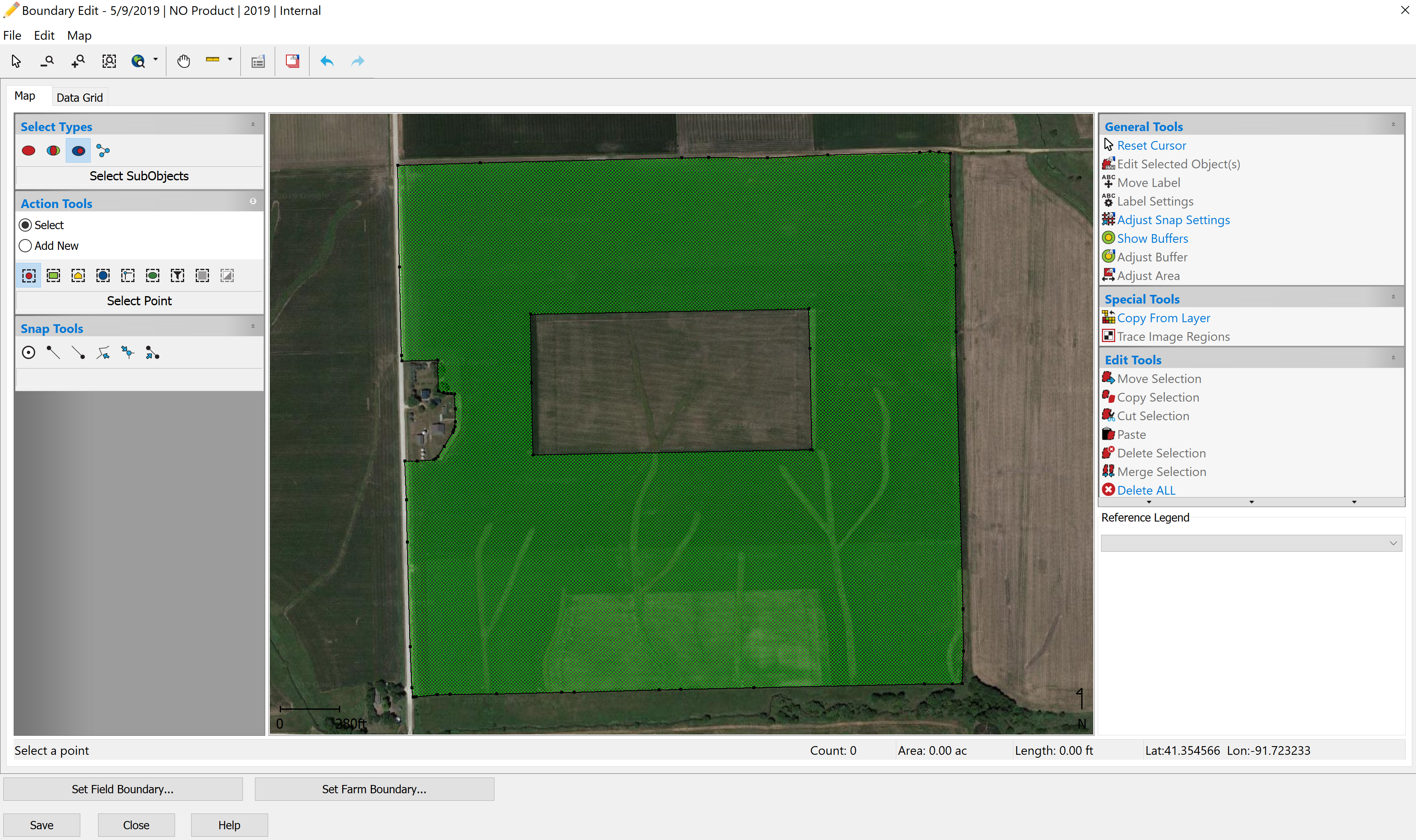
- Using the “Select SubObjects” button in the Select Types area, click on the “Select Points” tool in Action Tools and select the external boundary of the field. Once selected, click the “Delete Selection” button to remove it.

- Go to File, Save As, and save it in SMS, remembering where you save it.

- Do the same thing with the interior boundaries.
- Again, go to File, Save As, and save it with the interior boundaries.

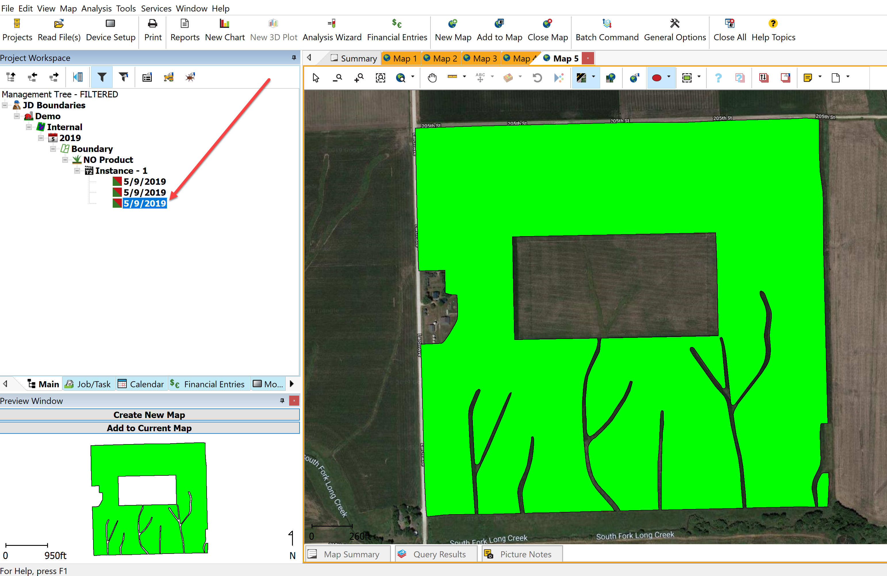
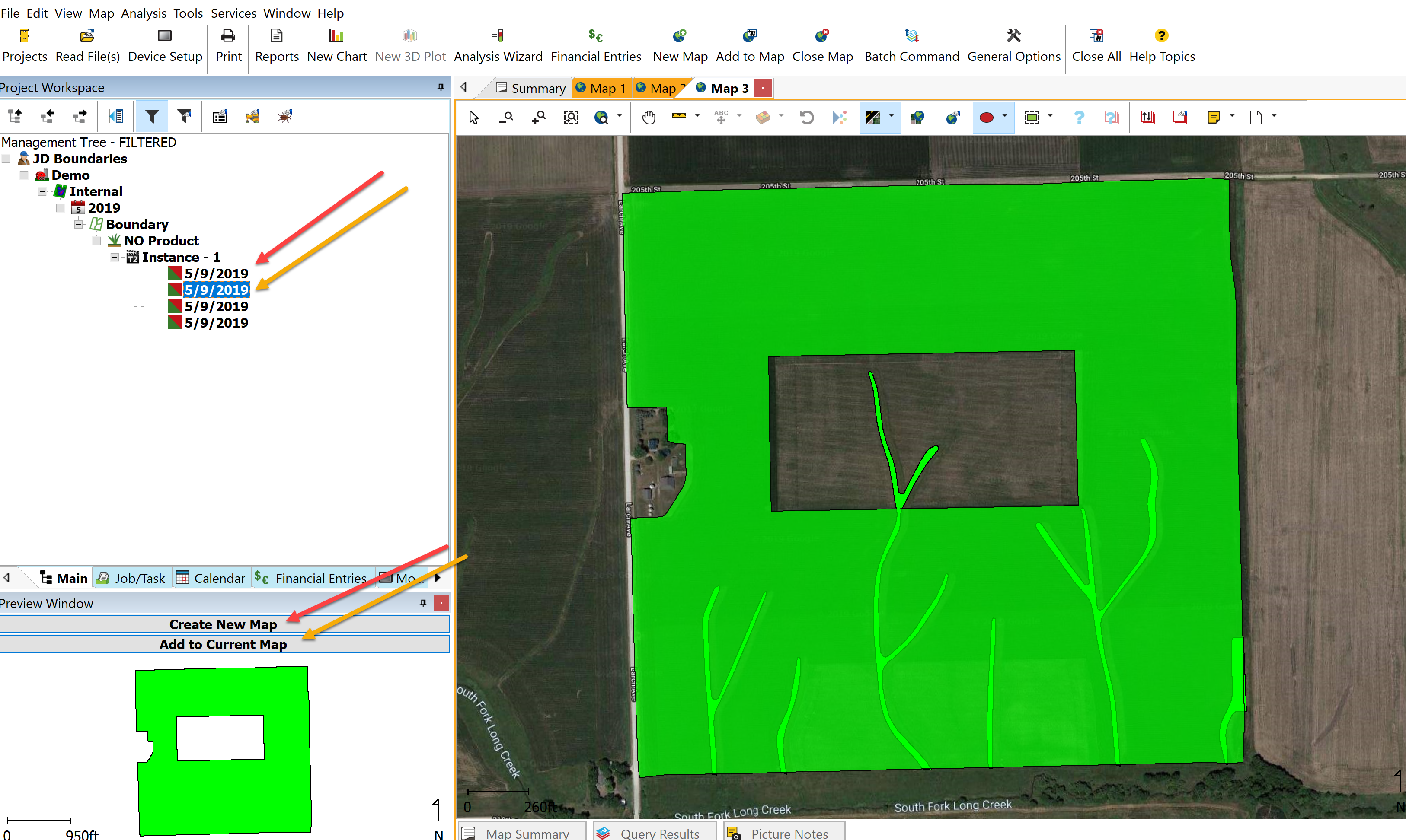
- Returning to the main window, select the exterior boundary dataset and click the “Create New Map” button. Next, select the interior boundary dataset and click the “Add to Current Map” button. You MUST do these individually.
- Go to File, New, and select the “Boundary Layer” option.

-
In the Boundary Edit screen, select the “Copy From Layer” selection in the Special Tools section.

-
In the Select Layer prompt, select the EXTERIOR BOUNDARY from the Select Layer Option and once you see it in the preview area, click the “Next” button. In the Select Layer Objects prompt, click the “Next>” button.


- Do the same for the Interior Boundary.


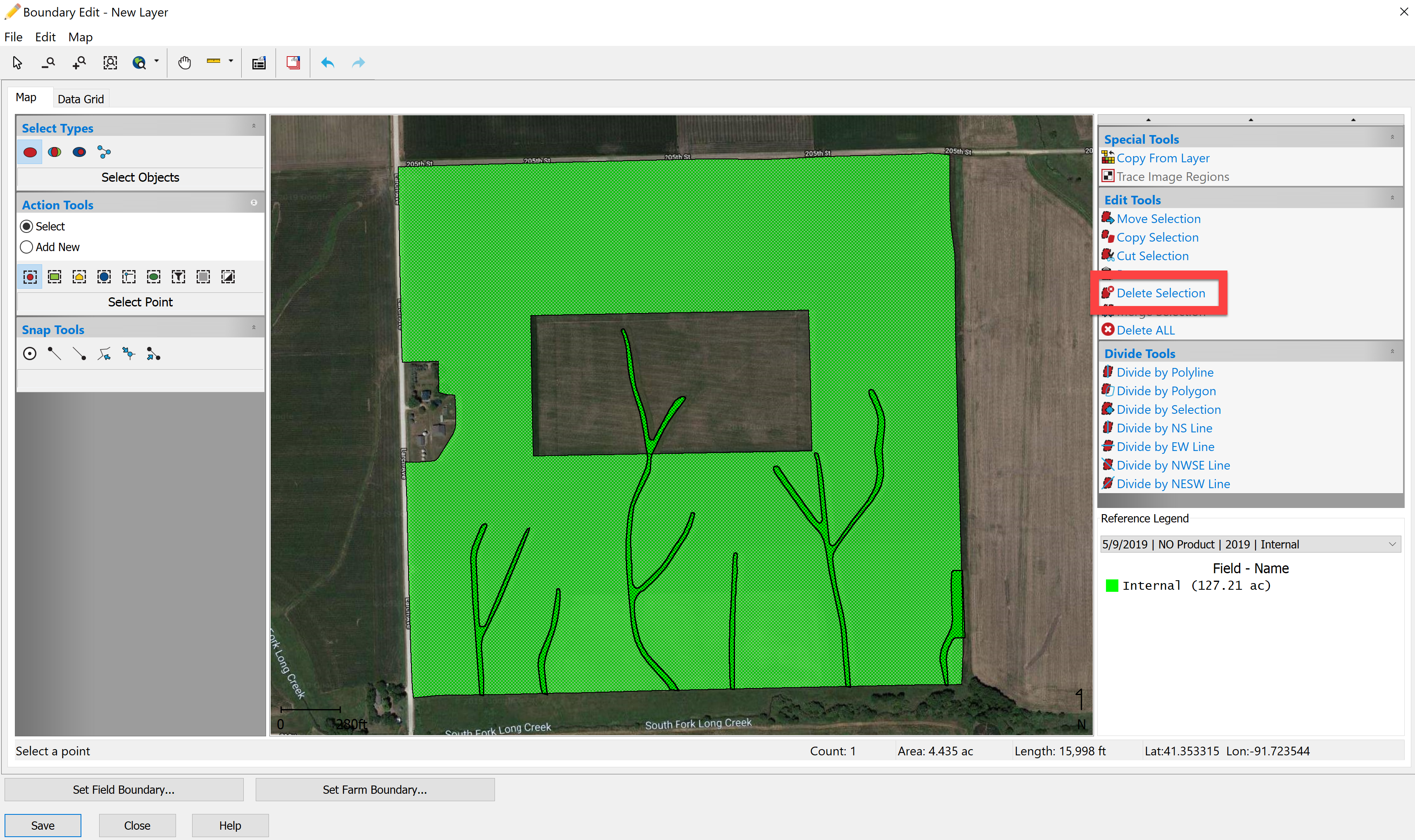
- Now back in the Edit Boundary, using the Select Objects tool and the point tool, select the interior boundaries and then click the “Divide by Selection” button.

- After doing so, select the interior boundaries again and select the “Delete Selection” button. Select the interior boundaries again and click the “Delete Selection” button again.
- Go to File, Save As and save accordingly.

-
Returning to the main page, select the new boundary dataset (lowest one in the tree) and Create New Map to bring it into the Map Window. Now you can delete out the interior boundary dataset and exterior boundary dataset do any further editing that needs to be done!