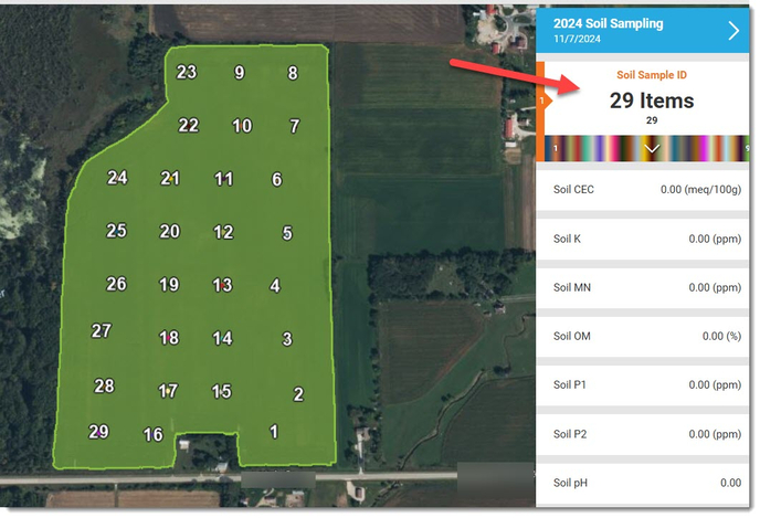
How to view Your Soil Sample Points in AgFiniti
Once you are in your AgFiniti account and on the Maps page, make sure you have your "Base Spatial" map selected. You can do this from any attribute that is visible. We are using CEC for this example.
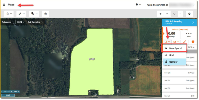
You will see values populate on the screen and if you do not see "Sample ID" from your pick list, you may need to go one step further.
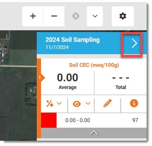
Click the ">" button to the right of the Soil Sampling layer.
Click the "Select Stats" button at the bottom.
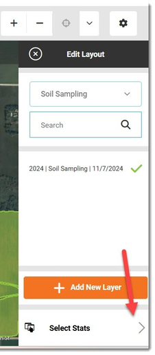
Scroll to find the "Soil Sample ID" attribute and click on it to add to your list.
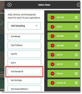
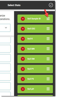
By left clicking and holding down on the 3 lines, you can drag the attributes and reorder to your liking.
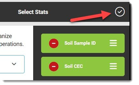
Once satisfied, click the okay button in the upper right.
Click on the Soil Sample ID attribute and you will see the points appear on the map.
